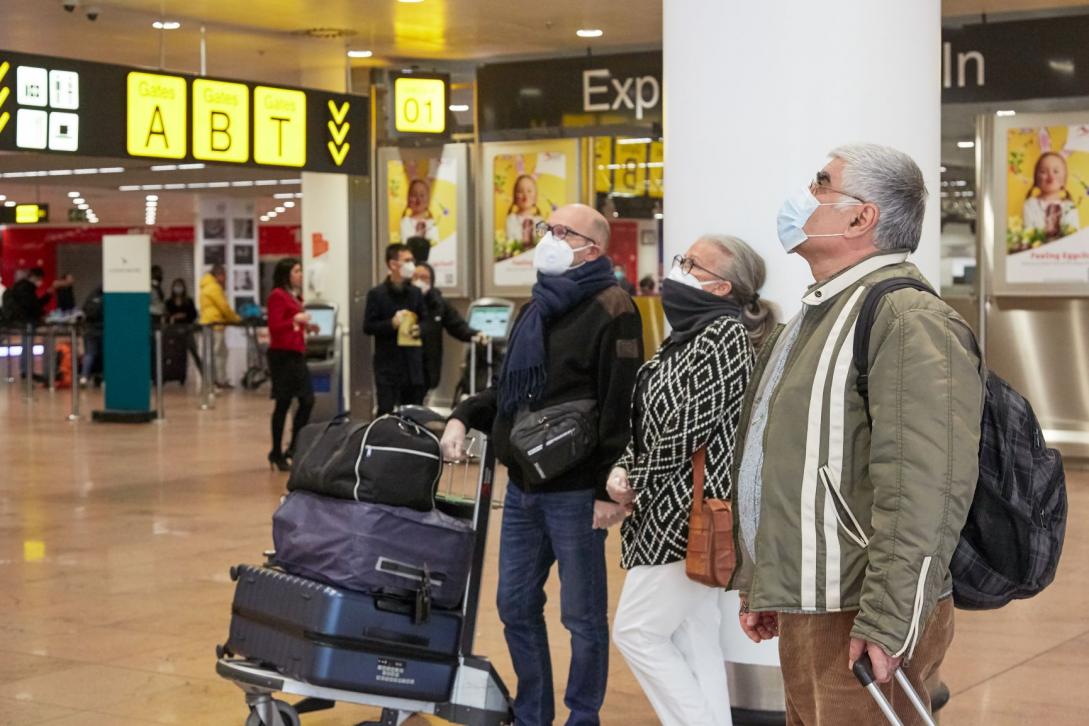
“Traffic light system” to help EU travellers follow Covid travel restrictions

Based on data from member states, the map will be published by the European Centre for Disease Prevention and Control using a colour-coded systems with regions coloured ‘green', ‘orange', ‘red' or ‘grey' (if insufficient information is available).
EU governments will continue to decide what restrictive measures apply at a national level, such as quarantine or tests. EU ministers agreed that there will be no restrictions on travellers coming from ‘green' regions. Only people travelling from ‘orange' or ‘red' regions can expect restrictive measures.
In October EU ministers agreed a coordinated approach to the restrictions of free movement in response to the COVID-19 pandemic. Other measures include a common criteria for deciding whether to introduce travel restrictions, more clarity on the measures applied to travellers from higher-risk areas, as well as the provision of clear and timely information to the public.
Background
The European Commission launched Re-open EU in June 2020 to provide essential country-specific and up-to-date information on national measures and practical advice for those travelling around the EU during the coronavirus pandemic. More information on the Commission’s response to the pandemic here


